Brazos Canyon Fire District
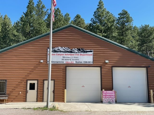
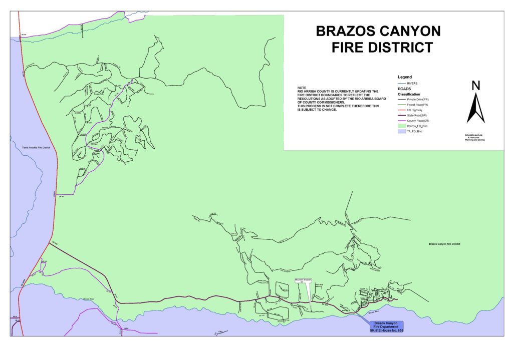
The BCVFD Fire District is approximately 38 to 40 square miles in size with much of it very rugged forested mountainous and remote terrain. The District is bordered on the south by eight (8) miles of the Brazos River, on the west by 5.5 miles of United States Highway 84 (U.S. 84), on the north by Cañones Road County Road 342 (C.R. 342) (actually the fence bordering the Jicarilla reservation property), and on the east by the foothills of the San Juan Mountain Range. The District can be divided into three areas: the Brazos area with numerous subdivisions along State Road 512 (S.R. 512), including the UBPOA area; the Ponderosa area accessible via County Road 341 (C.R. 341); and the Cañones Creek area accessible via C.R. 342. BCVFD is responsible to respond to fire and other emergency calls anywhere within the District, and if requested, to assist other neighboring fire departments with various emergencies.
